Updated "Guide to creating maps with Stata"
The guide to creating maps with Stata has been updated with new links to third-party software.
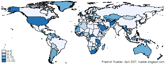
Map created with spmap in Stata: length of country names
Related articles
Friedrich Huebler, 30 June 2009, Creative Commons License
Permanent URL: http://huebler.blogspot.com/2009/06/stata-maps.html
Map created with spmap in Stata: length of country names

Related articles
- Guide to creating maps with Stata
- Guide to integrating Stata and external text editors
- Guide to creating PNG images with Stata
- Guide to reading Statalist with Gmail
Friedrich Huebler, 30 June 2009, Creative Commons License
Permanent URL: http://huebler.blogspot.com/2009/06/stata-maps.html


Comments
Post a Comment